- Version 0.1.3a (2011-5-10)
- Added a width to the map, so that we can get better sizing of the SRTM data.
- Take the filename of an SRTM file to figure out the proper width.
- Doubled the size of the PDF renderings in hopes of improving the image quality. Not sure if it is helping.
- Integrated relief shading with the elevation colouring. Makes a much nicer picture, especially with real world data.
- Changed the Sea Level window to be an elevation window and include a histogram of elevations.
- Version 0.1.2a (2010-9-15)
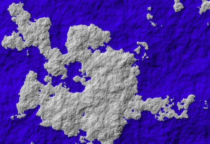
This is the first version to add support for real world data, as opposed to just random fractals. This is hilighting areas that need to be changed in the future.
- Added the Elevation Colour window to allow users to choose the colours that the map shows up in.
- Added the ability to read HGT files from the Shuttle Radar Topography Mission.
- Removed the vertical exaggeration from relief views so real world data looks better. Fractal relief data looks much fainter now. Sorry.
- Changed the file format to remove an internal spelling mistake that no one would likely ever see. We're using the Queen's English now.
- Better error handling when opening files.
- If the elevation is at sea level, it is treated as being in the water. Small change, but otherwise the HGT files look horrible.
- Version 0.1.1a (2010-8-30)
Since I incorrectly made the link to the last version, no one has downloaded it. I feel fine changing the file format.
- If the water panel is set to "No Water", the sea level controls are disabled.
- Topographic views for land are now in colour.
- Changed file format to include a scale. It is used for the relief display.
- Version 0.1a (2010-7-15)
First available version. Support for creating complete maps on cylinders, flatlands or spheres. Topographic and relief viewing options. Sea level can be changed.
- Unreleased (1994 - 2010)
Technically, I've been playing around with this program since 1994 when I wrote the first version in Pascal. It was a good learning experience. I've only ever started releasing versions in 2010 when it started to look professional enough not to be embarrassing.